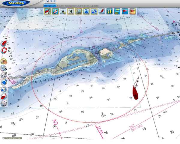
MM3D Raster Charts
Marine raster charts are produced based on National hydrographic offices’ marine cartograhy. As True digital copies, they allow to get on screen the official marine paper charts that you were accustomed to use.
MM3D Vector Charts
The C- map by Jeppesen vector charts are reproductions of marine cartography where data are processed and digitized in a format allowing additional information: information on buoys, lighthouses and ports, specific instructions on regulations, etc.
Raster or Vector Charts
It's hard to say which chart format is better than the other, the choice is often based ultimately on user habits. The paper marine chart amateurs will prefer electronic raster chart, while those who have always used vector charts will struggle to break away.


 RSS Feed
